
Data updated on 6 September 2026Data updated: 6 Sept 2026
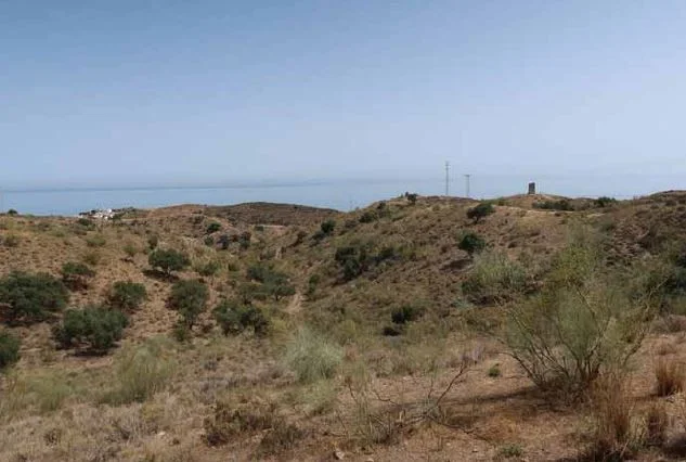
Almayate · Vélez-Málaga · Málaga
Coastal developable land near Almayate
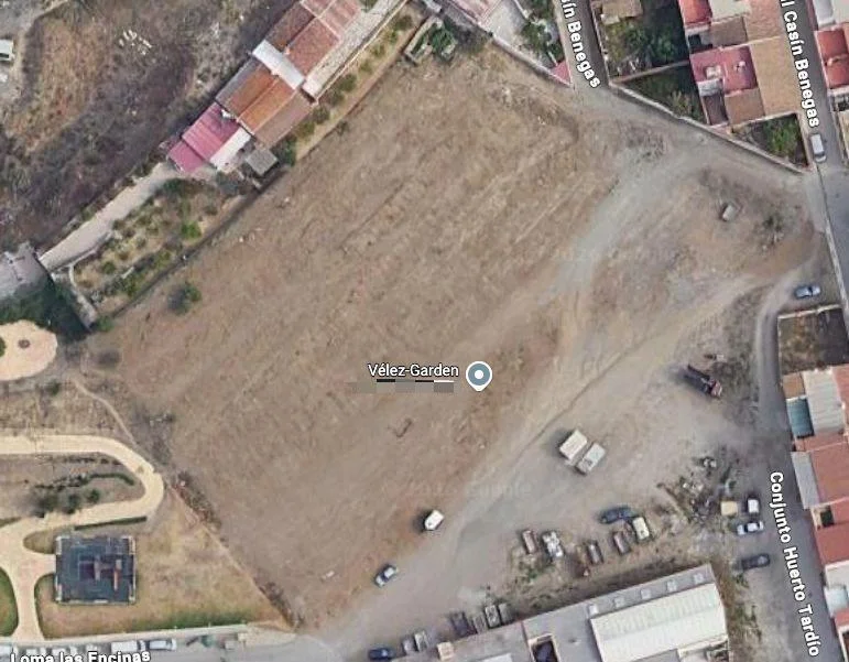
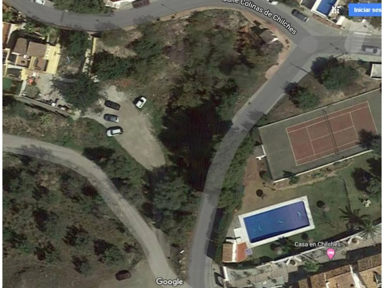
19,430.69 m² residential development land with estimated 4,156.45 m² buildable area, located 650 metres from Almayate-Bajamar beach. Sector urbanisation and planning processes remain pending.
Reference MP-VEL-LMYTBJ · On Inmoblia since 6 September 2026 · Published by Habitat Mediterranea
Specifications
What the advert says about the property: floor area, layout, condition and registry details.
We show the source-reported value for context, but exclude it from calculations until the conflicting evidence is resolved.
- Type
- Land
- Transaction type
- Bank-owned
Fittings and extras
What the property comes with and how much each item weighs in the “Property data” sub-score.
The advert also mentions:
- Three development plots
- Detached and terraced residential zoning
- Residential tourism use
- Pending urbanisation
- Compensation system development
- Planning innovation in progress
- Expropriation project required for affected land
- Compensation board not constituted
- Registered and cadastral areas differ
- 650 metres from Almayate-Bajamar beach
- Agency fees included
Free text we could not normalise into a comparable attribute, so it does not score.
No buy-to-let analysis
This is a plot of land: it produces no rental income, so we calculate no yield, no rental mortgage and no buy-to-let score. Below you will find the municipal context and the plot's details.
Municipal momentum
Where the local market is heading.
Rent price index
INE · 2011 base = 100 · yearly
Housing transactions
MIVAU · deals per year
These series describe the municipality's housing market; for this asset they are context for the area, not for its own segment.
Municipal demand
The structural depth of demand in the area.
Registered unemployment
SEPE · yearly average
Average gross income
AEAT · annual tax return
Registered population
INE · yearly population register
Net international migration
INE · immigration − emigration · yearly
Recorded offences
Ministry of the Interior · cumulative
Recorded offences (municipalities over 20,000 residents only, from 2024) are territorial context: they do not label an area “safe” or “unsafe”, nor do they measure tenant risk.
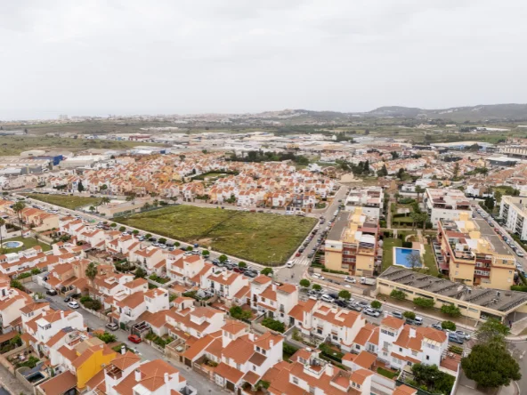
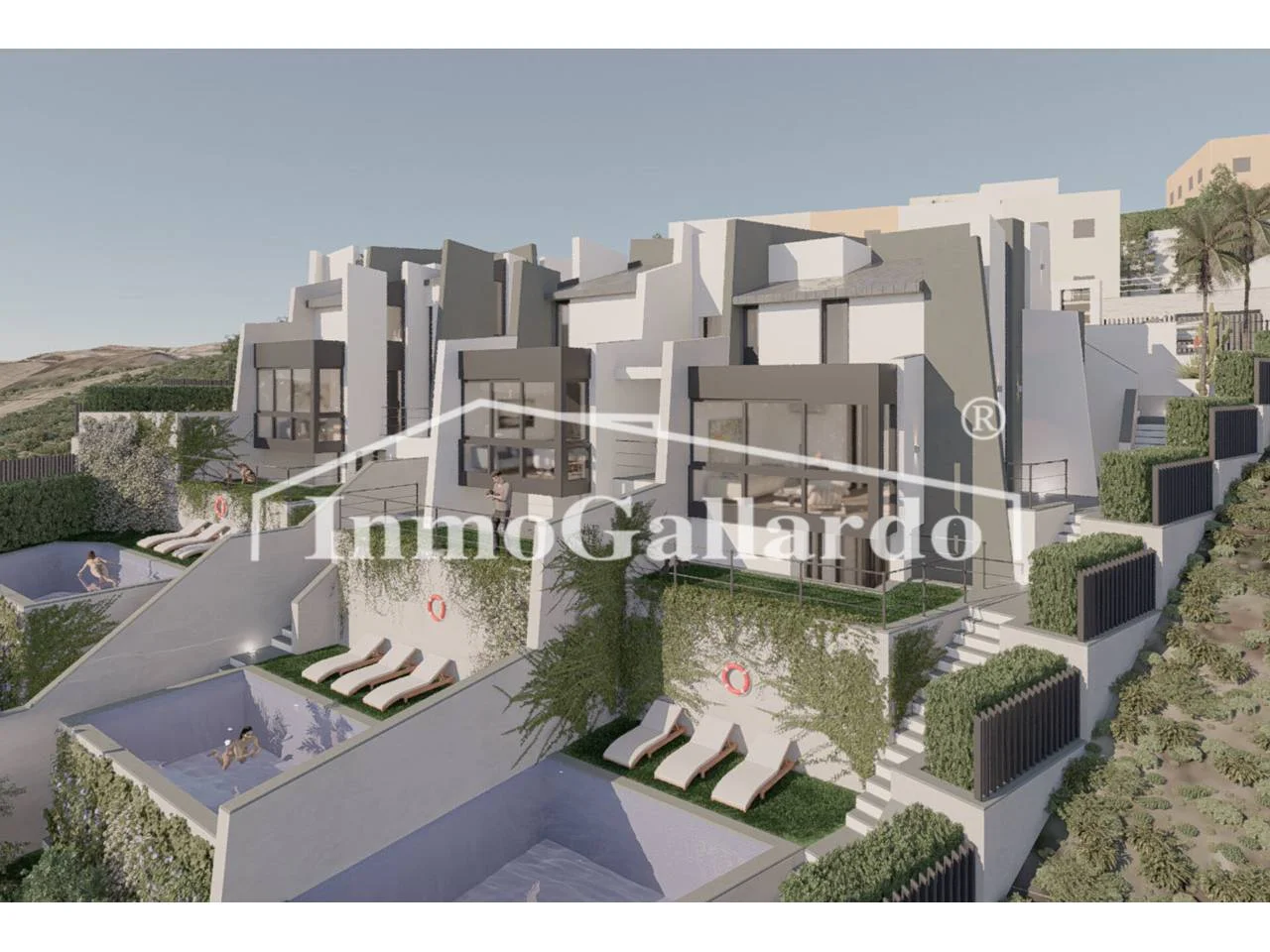
Similar properties nearby
Real references of the same municipality and type, to cross-check rent and price. They are not necessarily active offers.

This is a shortlisting pass over the advert's data, not a due diligence report. Before deciding, check the points we cannot verify from here:
- Planning classification and real buildable area: confirm both with the town hall before anything else.
- Available services and connections (water, electricity, drainage, vehicle access).
- The real service charge and, above all, whether any special levies are approved or pending: they appear in the minutes of the last owners' meetings.
- The property's actual IBI: our figure is an estimate from the municipality's cadastral values, not the specific bill.
- Charges, mortgages, seizures or easements in the Land Registry extract.